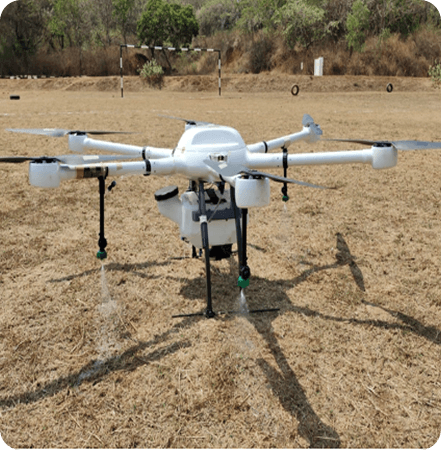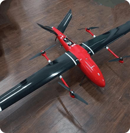
Falcon (Class 1 Make in India) - Fixed Wing VTOL
Advanced VTOL fixed-wing drone engineered for long-endurance missions. Combines vertical takeoff capability with efficient fixed-wing flight for extended surveillance and mapping operations.
Surveillance
Due to good flight time, the drone can be used for surveillance missions in the following areas:
Border
Traffic
Forest
Police
Canals or other linear infrastructure
Survey
Due to good flight time, the drone can be used for survey and mapping missions in the following areas:
Land Mapping
Construction Sites
Agriculture Fields
Disaster Damage Mapping
Road Inspection